Fires allowed in all designated fire pits and grills. Propane and gas grills allowed.
The U.S. Fish and Wildlife Service will conduct prescribed burns at Turnbull National Wildlife Refuge beginning in late March through May. Visitors can expect to see smoke and some roads and public use areas may need to close temporarily as burn operations are taking place. For more information about the planned prescribed burns, please contact the Turnbull National Wildlife Refuge Headquarters at (509) 235-4723.
Partial Trail Closure due to flooding washout between lower Monumental Dam and Kahlotus, WA until further notice.


100 SW Main Street, Washtucna, WA 99371
The 130-mile Columbia Plateau State Park Trail starts southwest of Spokane. Built on an abandoned railbed, the trail follows the Snake River south, ending near Pasco.
Planning is key for a safe and enjoyable trip along the trail. Crossroads are rare. Public facilities are scarce and summer temperatures often exceed 100 degrees Fahrenheit. The trail also features 18 railroad trestles; most are closed to use and those that are open lack decking and guard rails.
Take these 10 essentials with you on the trail: extra food and water, maps, compass, flashlight, sunglasses, first aid kit, pocketknife, waterproof matches and a fire starter. You may need other supplies depending on the length of your trek. Most hikers arrange for an overnight stay or a car shuttle.
The trail's nearly 100-mile midsection remains undeveloped. Long stretches lack resources such as food supplies, potable water and first aid. We recommend this trail for expert long-distance hikers who undertake careful planning.
First Day Hike Events
Biking
Bird Watching
Hiking, Walking, Rolling and Running
Horseback Riding
Winter Activities
Accessible Restrooms
Restrooms
Trash Service
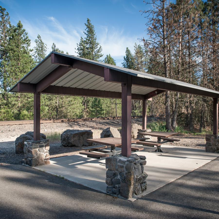
Picnic Shelters
Picnic Tables
Accessible Parking
Parking
Interpretive Opportunities
Accessible Trails
Bike Trails
Equestrian Trails
Hiking Trails

Creek
Field
Forest
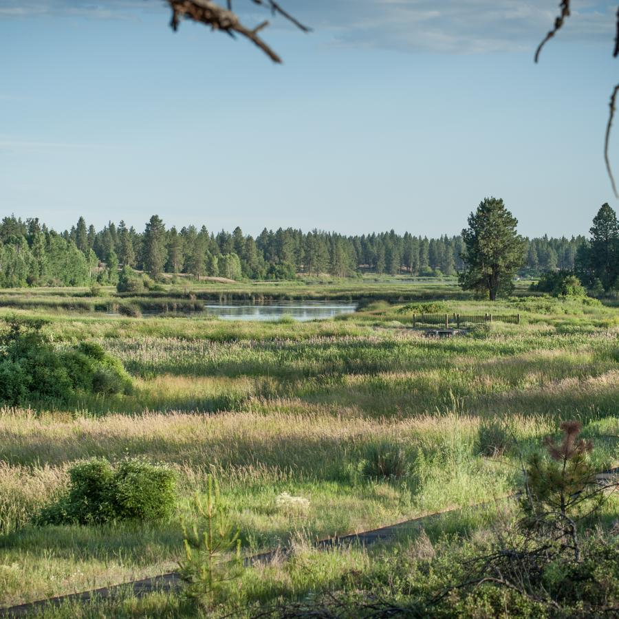
Freshwater

Lake
Meadow
Mountain View
River
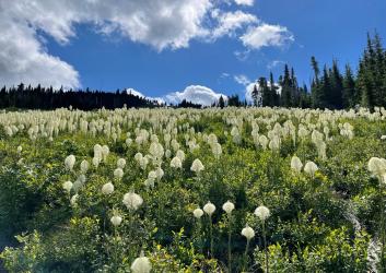
Seasonal Wildflowers
Viewpoint
Wetland
Wildlife Viewing
Planning is key for a safe and enjoyable trip along the trail. Crossroads are rare. Public facilities are scarce and summer temperatures often exceed 100 degrees Fahrenheit. The trail also features 18 railroad trestles; most are closed to use and those that are open lack decking and guard rails.
Take these 10 essentials with you on the trail: extra food and water, maps, compass, flashlight, sunglasses, first aid kit, pocketknife, waterproof matches and a fire starter. You may need other supplies depending on the length of your trek. Most hikers arrange for an overnight stay or a car shuttle.
The trail's nearly 100-mile midsection remains undeveloped. Long stretches lack resources such as food supplies, potable water and first aid. We recommend this trail for expert long-distance hikers who undertake careful planning.
Columbia Plateau State Park Trail is a day use park located in Eastern Washington. You can enjoy varied activities throughout the year including hiking, bicycling, horseback riding, birdwatching, cross-country skiing and snowshoeing. The amazing geologic story of the area is on display for you to see reminders of one of the world's largest volcanic fields eroded by the Ice Age floods. Mileposts along the trail are distances from Portland.
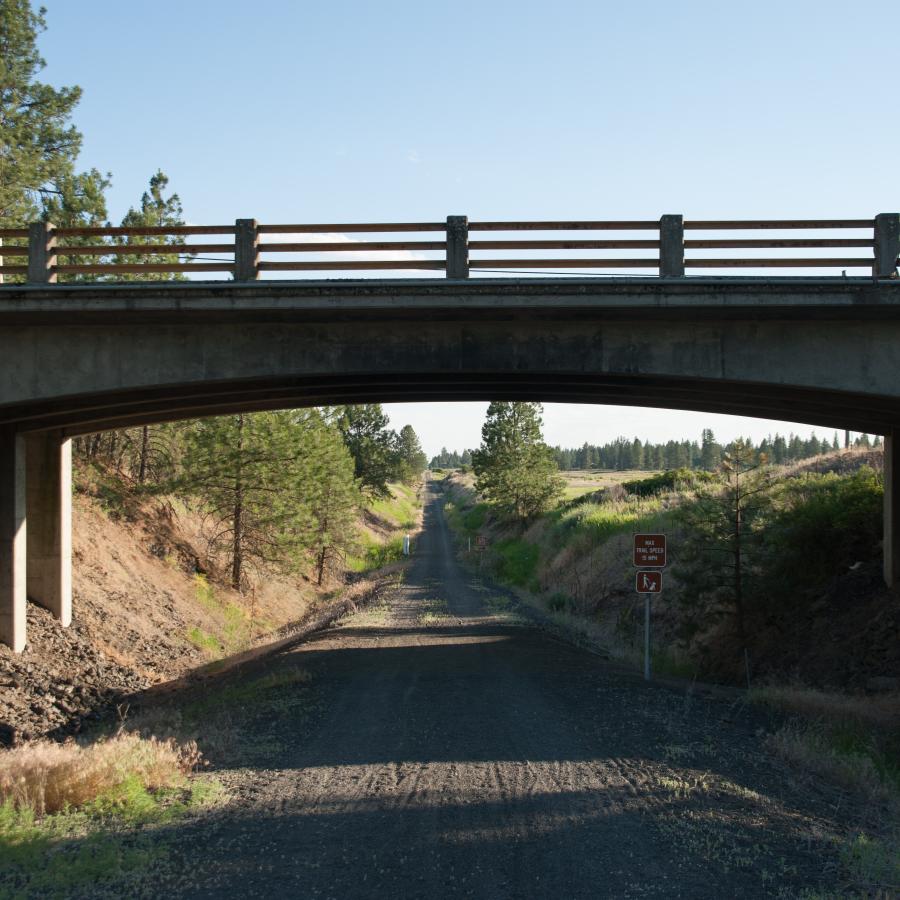
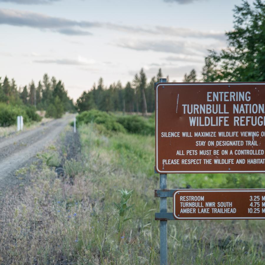
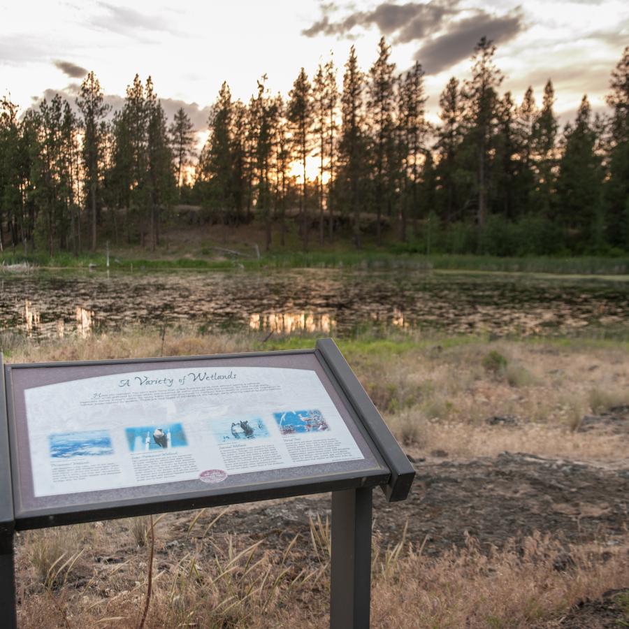
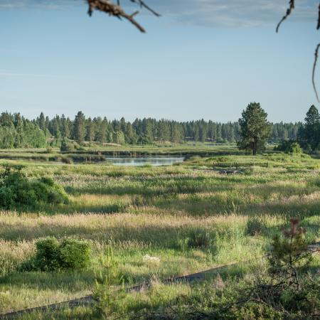
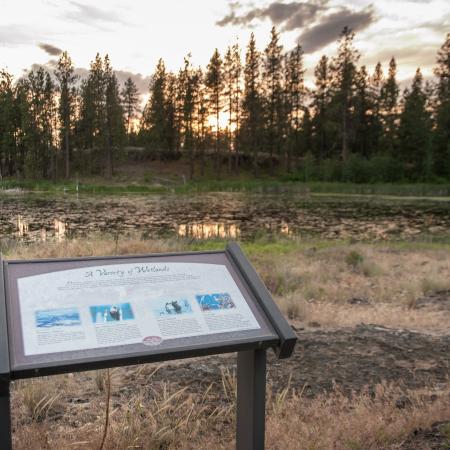
Travel along the semi-arid channeled scablands, starting at Fish Lake Trailhead in Spokane County. This 23-mile improved portion provides rest and swim stops at Cheney and Amber lakes, ending at Martin Road, south of Sprague. The first 3.75 miles is an asphalt trail, while the remaining 19.25 miles are crushed gravel with a gentle grade, which may be difficult for some visitors. The trail runs through Turnbull National Wildlife Refuge, home to deer, elk, moose, small mammals and 200 species of birds. The best times to visit are early morning and evening. Between March - May and September - November, you'll be treated to spring and fall bird migrations; you may even see a trumpeter swan. Make sure to stop at milepost 358 as this is the high point between Portland and Spokane.
The southern end of the trail overlays the former Spokane, Portland and Seattle Railroad, which opened in 1908. This undeveloped portion of the trail continues along a portion of the Palouse River to Washtucna and on to the Snake River Canyon, where the canyons become larger and the cliffs steeper. Along the way, there are five tunnels (three of which are concrete-lined) ranging from 200 feet to nearly one-half mile long. The trail has several U.S. Army Corps of Engineers access points, and offers a connection to Sacajawea State Park at the southern end.