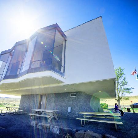
Dry Falls Visitor Center
35661 Hwy 17 North, Coulee City, WA 99115
Overview
Map & visitor guide
47.606672, -119.364385
Additional information
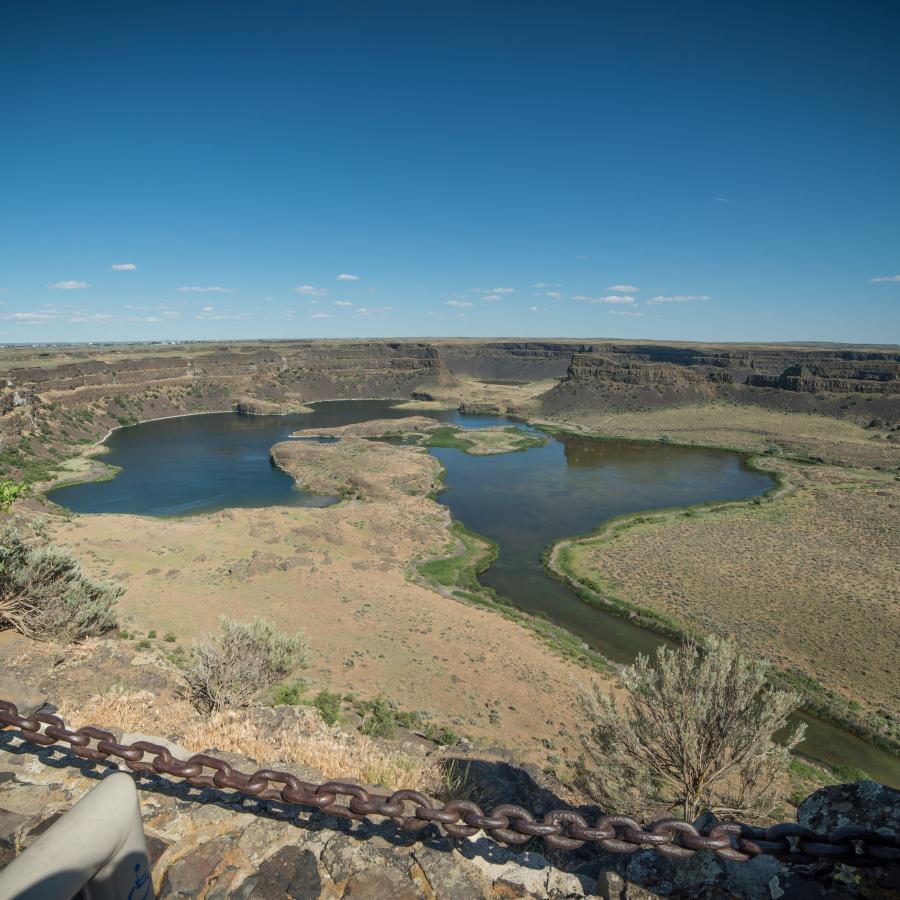
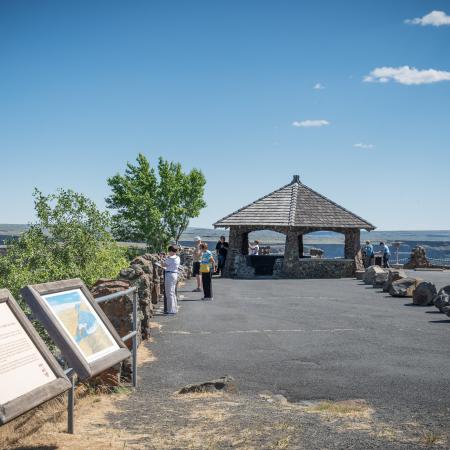
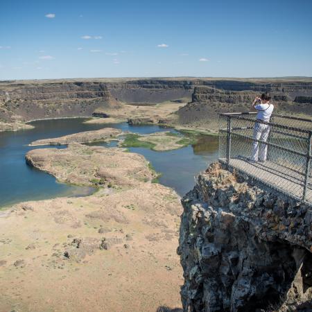
The historic 1928 Vista House and Rock Gazebo Overlook offers panoramic views of Dry Falls. What were once plunge pools of the Ice Age waterfall are now groundwater-fed lakes, home to various wildlife.
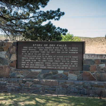
In the Visitor Center, enjoy a comprehensive bookstore and indoor exhibits of the history of the geologic understanding of the Ice Age Floods in the Pacific Northwest and early human history of the region.
Admission to the center is free, donations accepted. No Discover Pass is required to park.
Visitor Impact
State Route 17 Road Construction currently through October 2024 8 a.m. to 5 p.m.
Click here to visit WSDOT for additional information.
Operating hours
Summer
Open 10 a.m. to 4 p.m., Thursday-Monday. Closed Tuesday and Wednesday.
Winter
Open 10 a.m. to 4 p.m., Friday-Sunday. Closed Monday-Thursday.
Observed holidays
The interpretive center is closed for the following holidays:
- Martin Luther King Jr. Day
- Presidents Day
- Veteran's Day
- Thanksgiving and the Friday after Thanksgiving
- Christmas Eve and Day
- New Year's Day
Live park camera
For a live view of Dry Falls, click here to view the center's camera.
Nearby attractions
For a more in-depth experience, explore the landscape by car, foot or boat. Nearby, Sun Lakes-Dry Falls State Park offers a wide variety of recreational opportunities, including hiking more than 15 miles of trails, interpretive programs, camping, boating, golfing and wildlife viewing.
Lake Lenore Caves State Park is located 10 miles south on State Route 17. Hike through the basalt landscape to explore caves and overhangs that Native Americans used as temporary shelters and places to work.
Hike, bike or camp on the shores of Banks Lake at Steamboat Rock State Park, 21 miles north on State Route 155. Hike atop the 650-foot Steamboat Rock or, for a forested and historical hike, walk the trails at Northrup Canyon.
Ice Age Floods in Washington
To learn more about the Ice Age Floods in Washington, visit the Ice Age Floods Institute website.
Park Wi-Fi service
Free, high-speed Wi-Fi access is available in limited coverage areas at Dry Falls Visitor Center. For more information on coverage areas and hours of service and our growing list of parks with Wi-Fi service visit our parks Wi-Fi page.
Contact us
| Dry.Falls@parks.wa.gov | |
| Phone | (509) 632-5214 |